Pathum Thani, 23–24 July 2026 – The Water Engineering and Management (WEM) program hosted the Satellite Gravimetry Summer School 2026, a two-day training program on “Processing and Applications of Satellite Gravimetry Signals in Hydrology for Disaster Risk Management and Planning.” The Summer School brought together researchers, academics, students, government officers, and private-sector professionals from across the water resources, climate science, environmental science, and disaster management fields.
The program was organized by ALICE-LAB (Asian Land Information for Climate and Environmental Research Laboratory) under the research project “Enhancing Satellite Gravimetry Data for Sustainable Water Resource and Disaster Management in Thailand and Southeast Asia,” with funding from the Program Management Unit for Human Resources & Institutional Development, Research and Innovation (PMU-B).
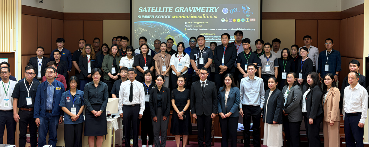
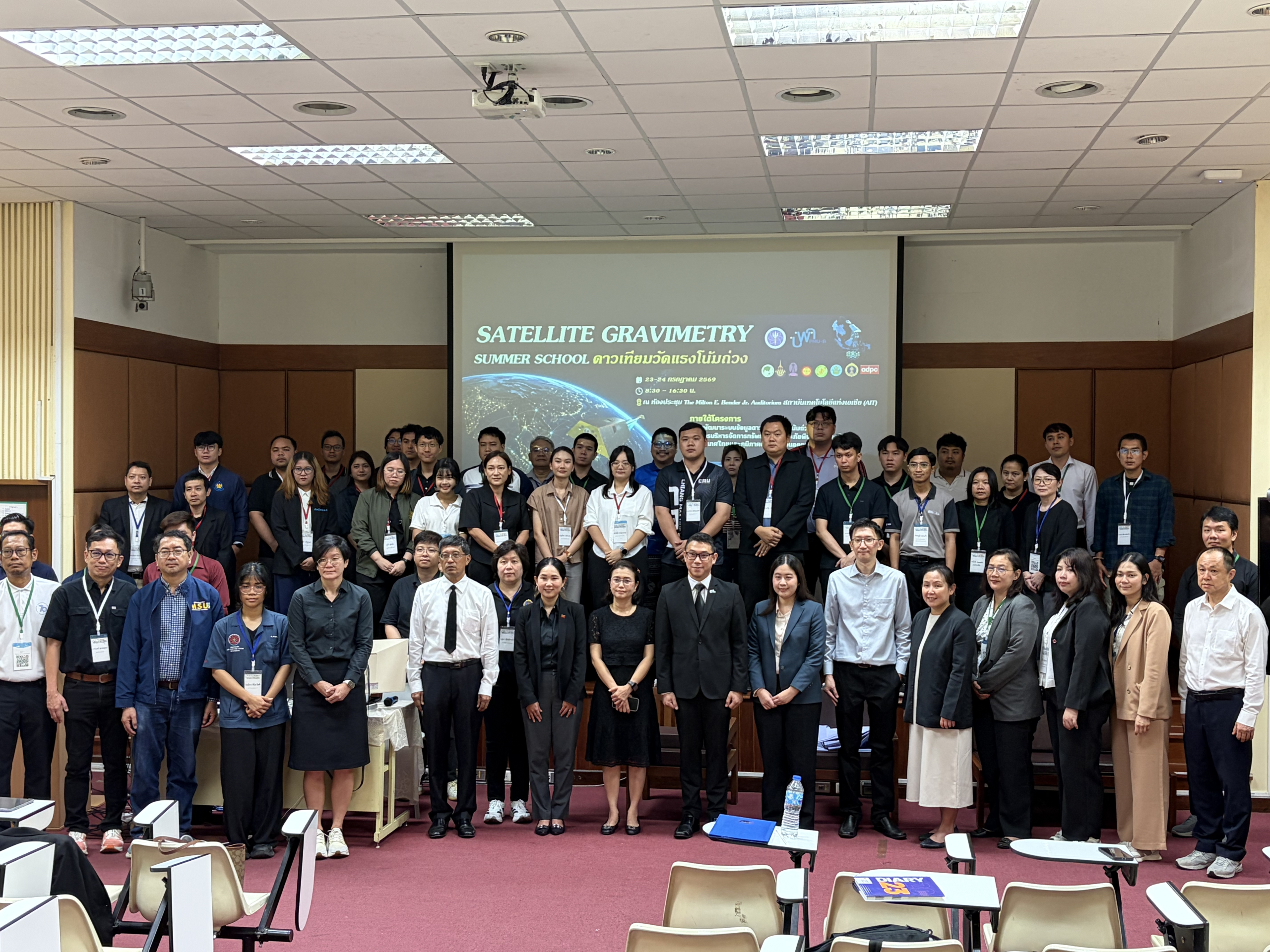
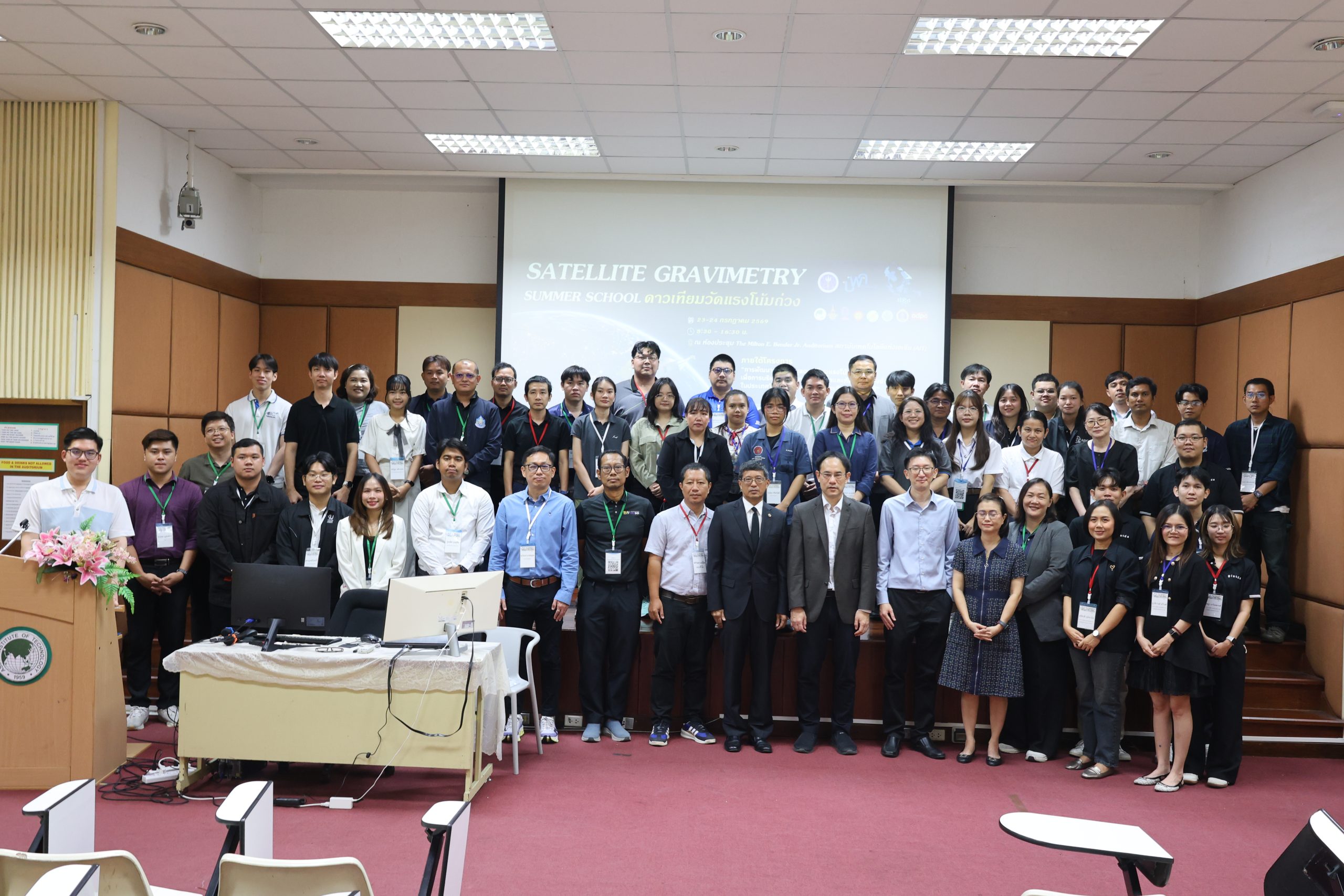
Attendees of the Satellite Gravimetry Summer School 2026
Why Satellite Gravimetry Matters
Satellite gravimetry has become one of the most valuable Earth observation technologies for tracking changes in terrestrial water storage, groundwater resources, and climate variability at regional to global scales. Data from the Gravity Recovery and Climate Experiment (GRACE) and its successor mission, GRACE Follow-On (GRACE-FO), have transformed how scientists monitor the Earth’s water cycle, opening up new possibilities for evidence-based decision-making in water resource management and disaster risk reduction.
Through a mix of lectures, hands-on exercises, and case studies drawn from Thailand and the wider Southeast Asia region, the Summer School gave participants — from newcomers to experienced practitioners — a grounding in the principles, processing techniques, and practical applications of this technology.
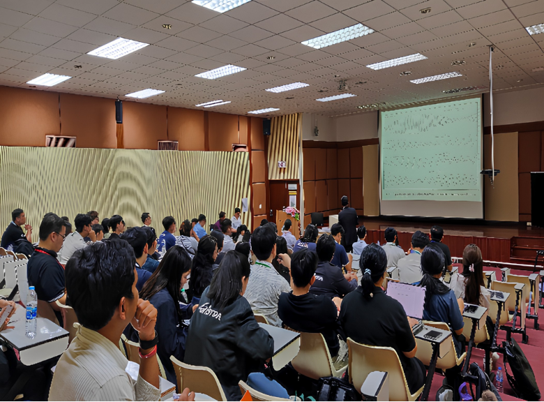
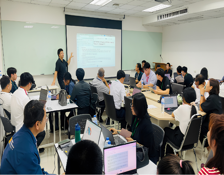
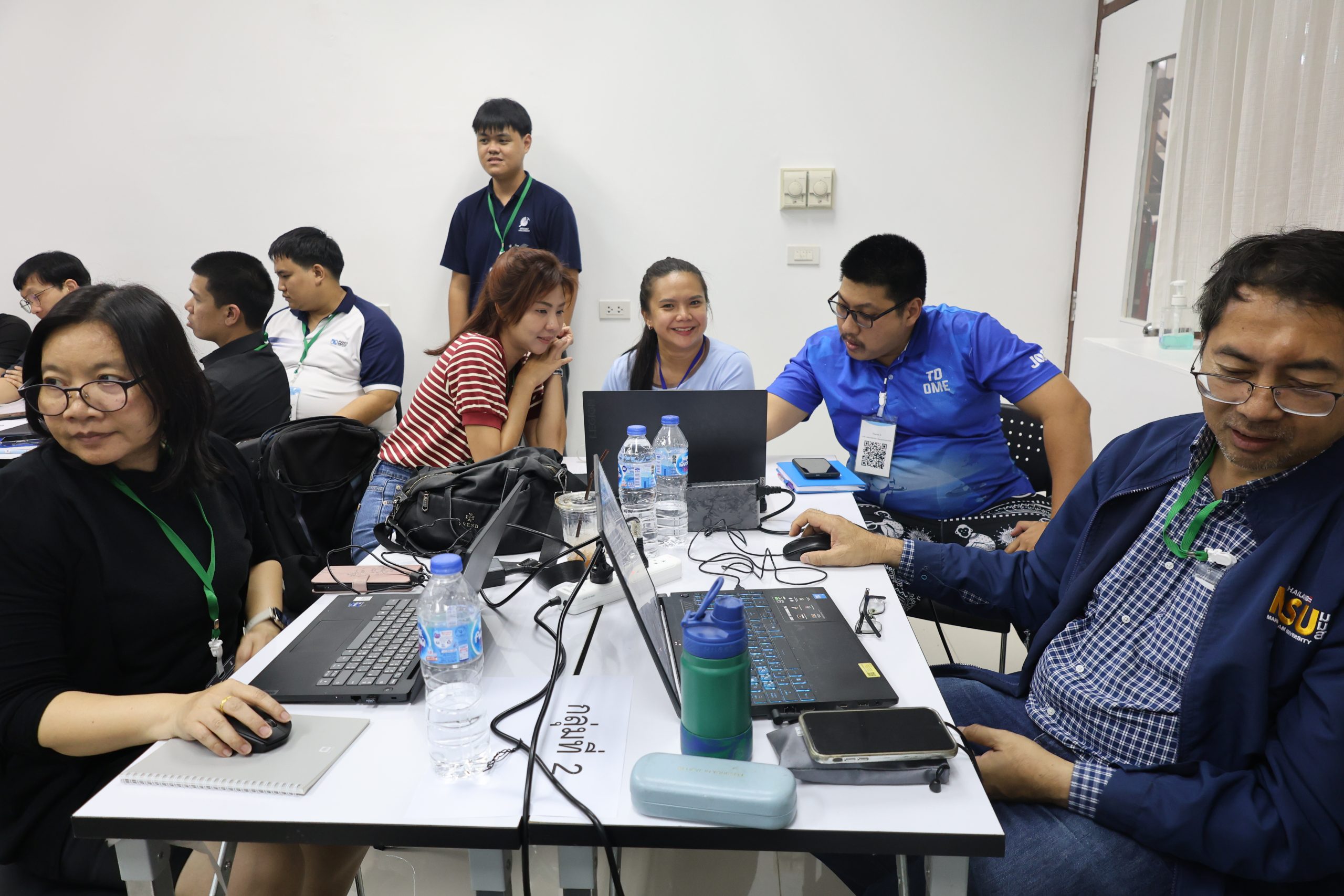
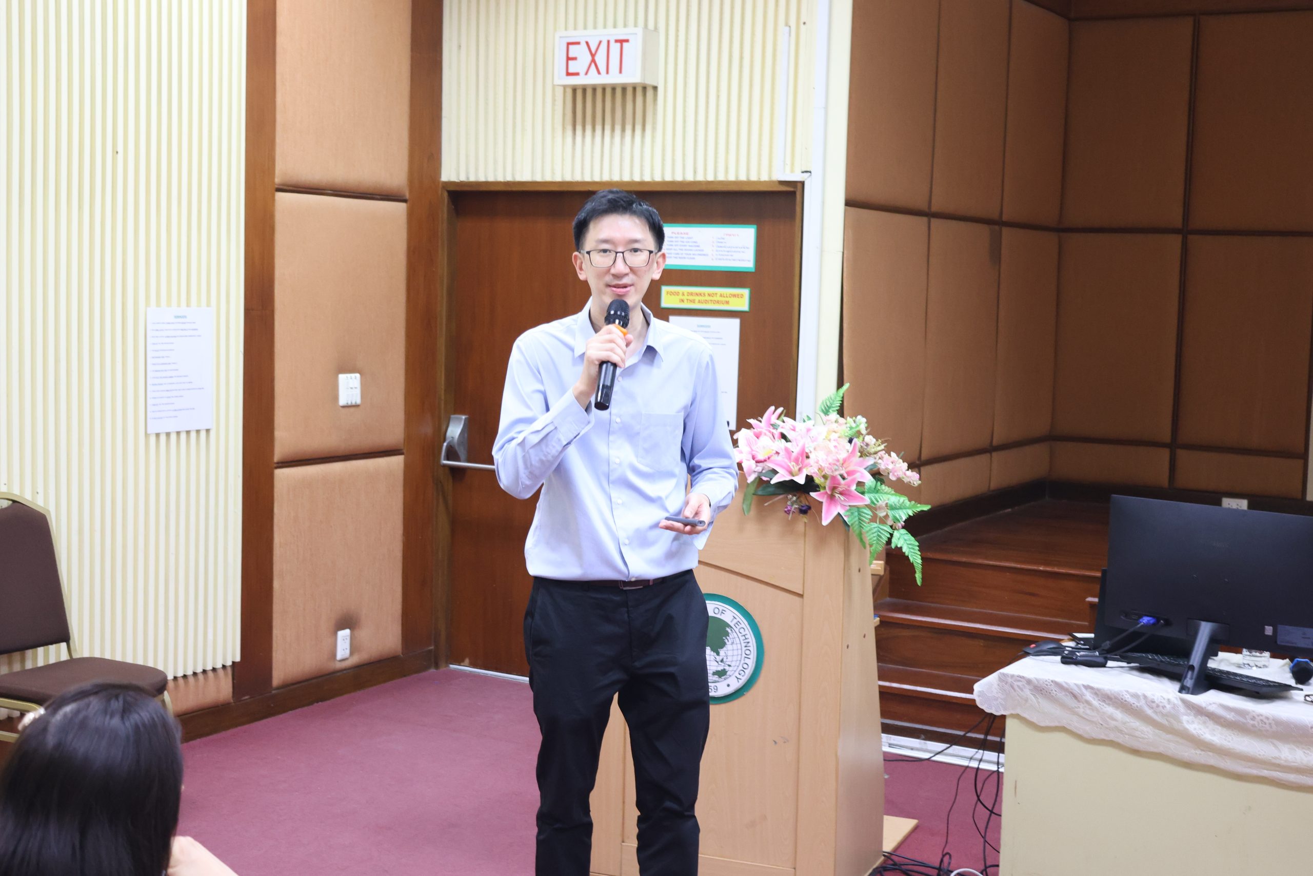
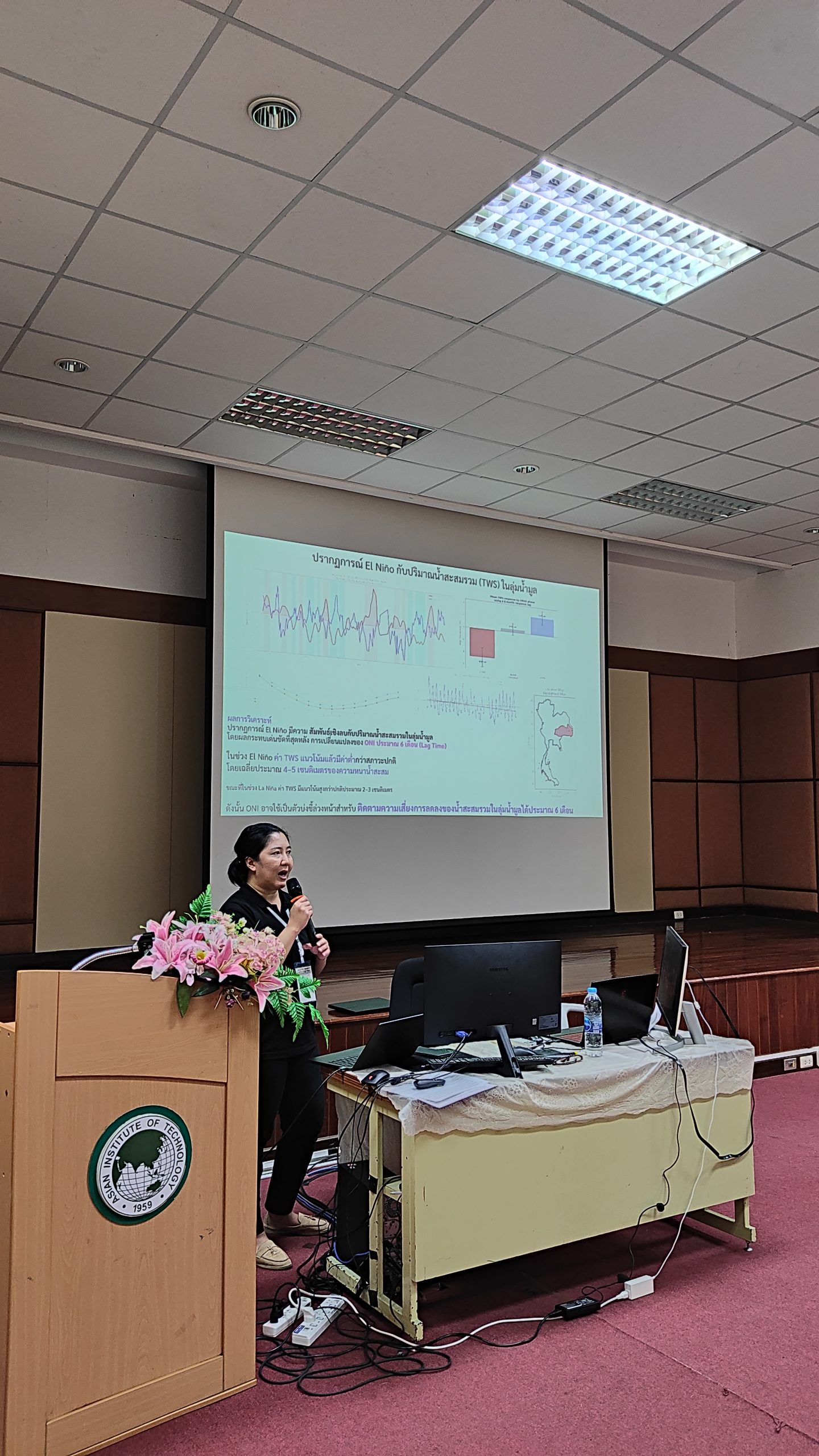
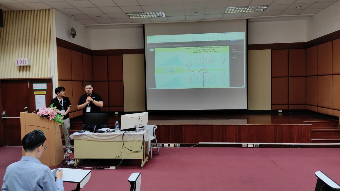
Attendees listening to featured seminars and taking part in hands-on activity workshop
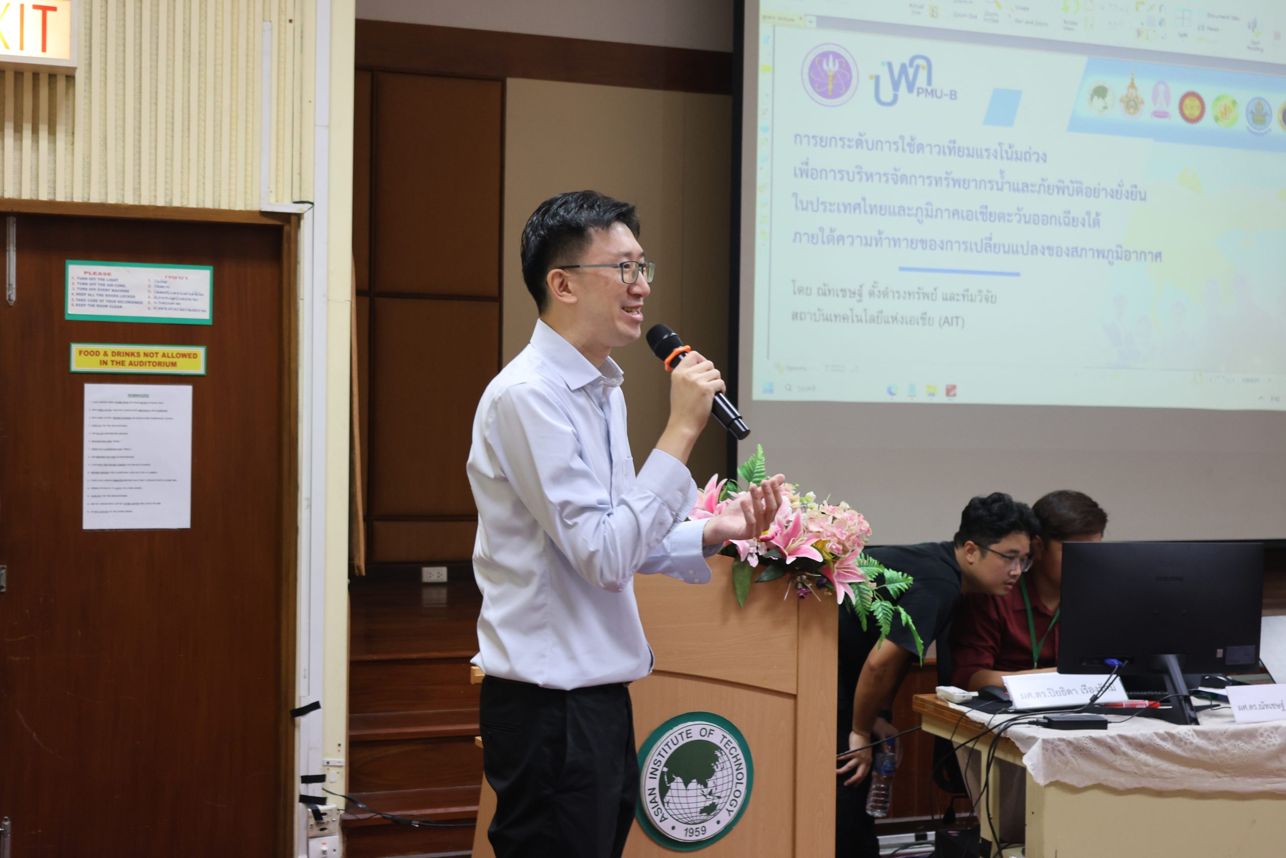
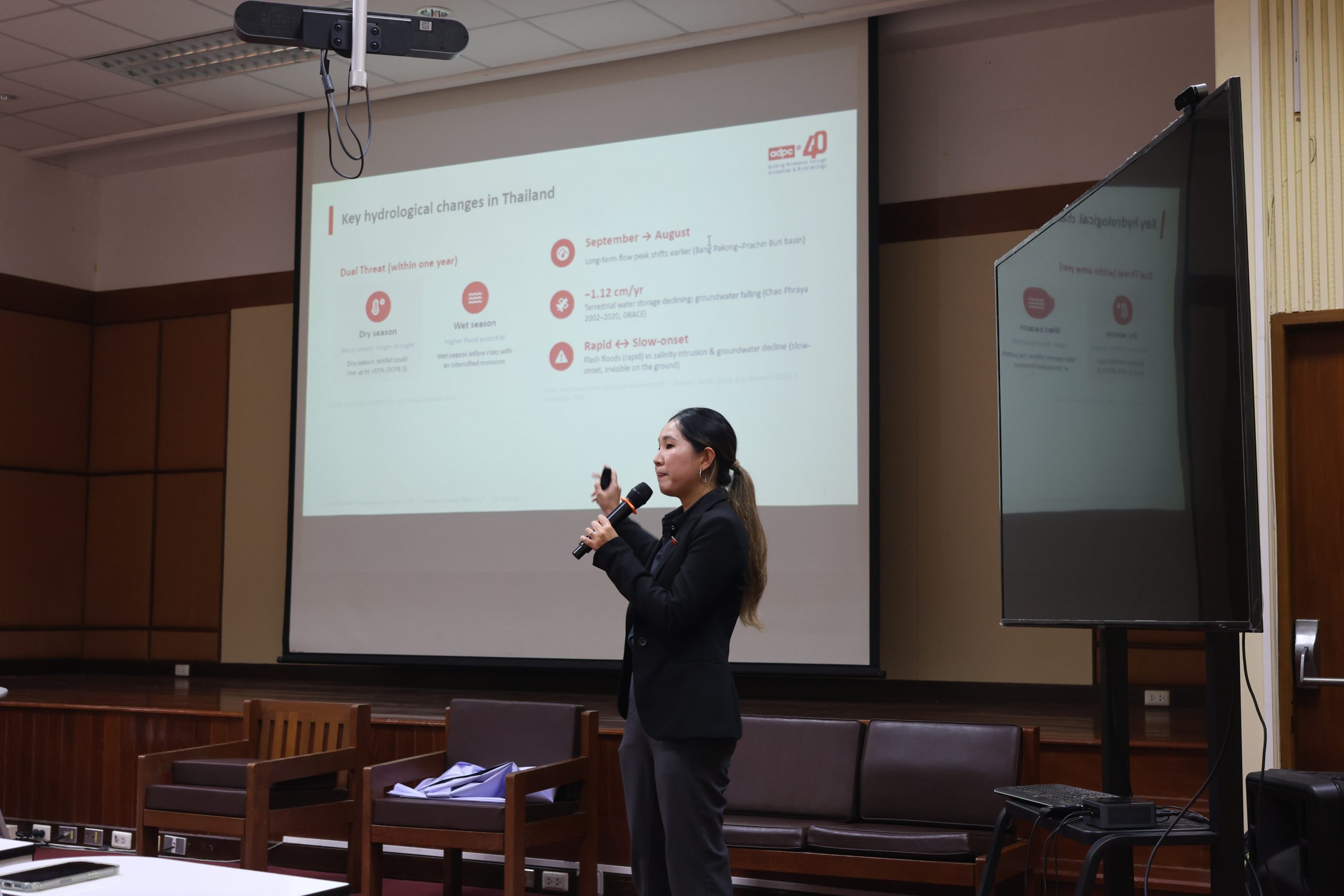
The first day, held on 23 July, focused on Theme 1: Satellite Gravimetry for Water Resource Management, featuring the following sessions: Tracking Water Resources from Satellite Gravimetry by Asst. Prof. Dr. Natthachet Tangdamrongsub — Asian Institute of Technology (AIT); Water Resources Management by Asst. Prof. Dr. Piyatida Ruangrassamee — Chulalongkorn University; and, Climate Change Impacts on Hydrology by Asst. Prof. Dr. Saowanit Prabnakorn — Rajamangala University of Technology Thanyaburi (RMUTT) and Ms. Chinaporn Meechaiya — the Asian Disaster Preparedness Center (ADPC).
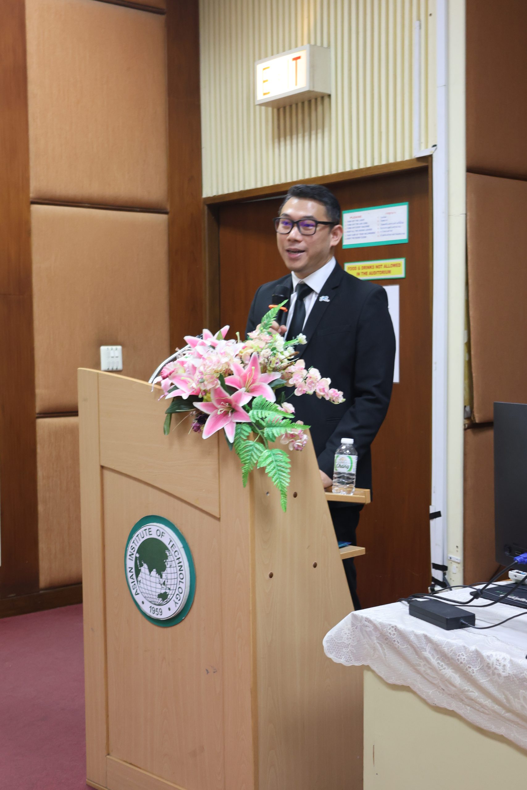
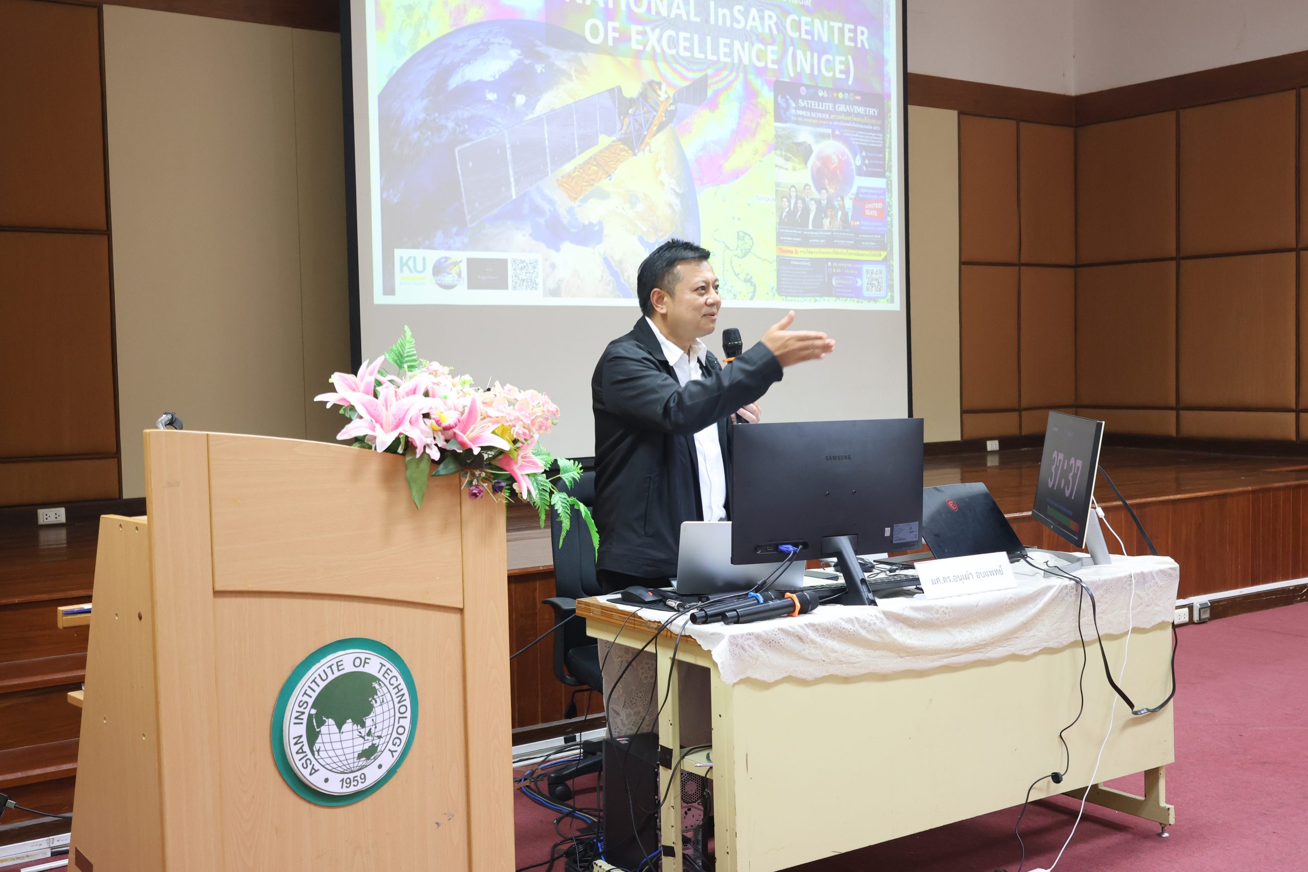
The second day, held on 24 July, was opened by Dr. Ekbordin Winijkul, the Dean of the Faculty of Civil and Environmental Engineering – AIT, and turned to Theme 2: Satellite Gravimetry for Disaster Monitoring and Assessment. The session covers the topics of Introduction to Satellite Geodesy and the Earth System by Prof. Dr. Chalermchon Satirapod — Chulalongkorn University; Oceanography: Sea Level Rise & Coastal Impacts by Captain Sommart Niemnil — Council of Scientific and Technological Associations of Thailand (COSTAT); and, Disaster Events: Earthquakes, Subsidence, Floods, Droughts by Asst. Prof. Dr. Anuphao Aobpaet — Kasetsart University.
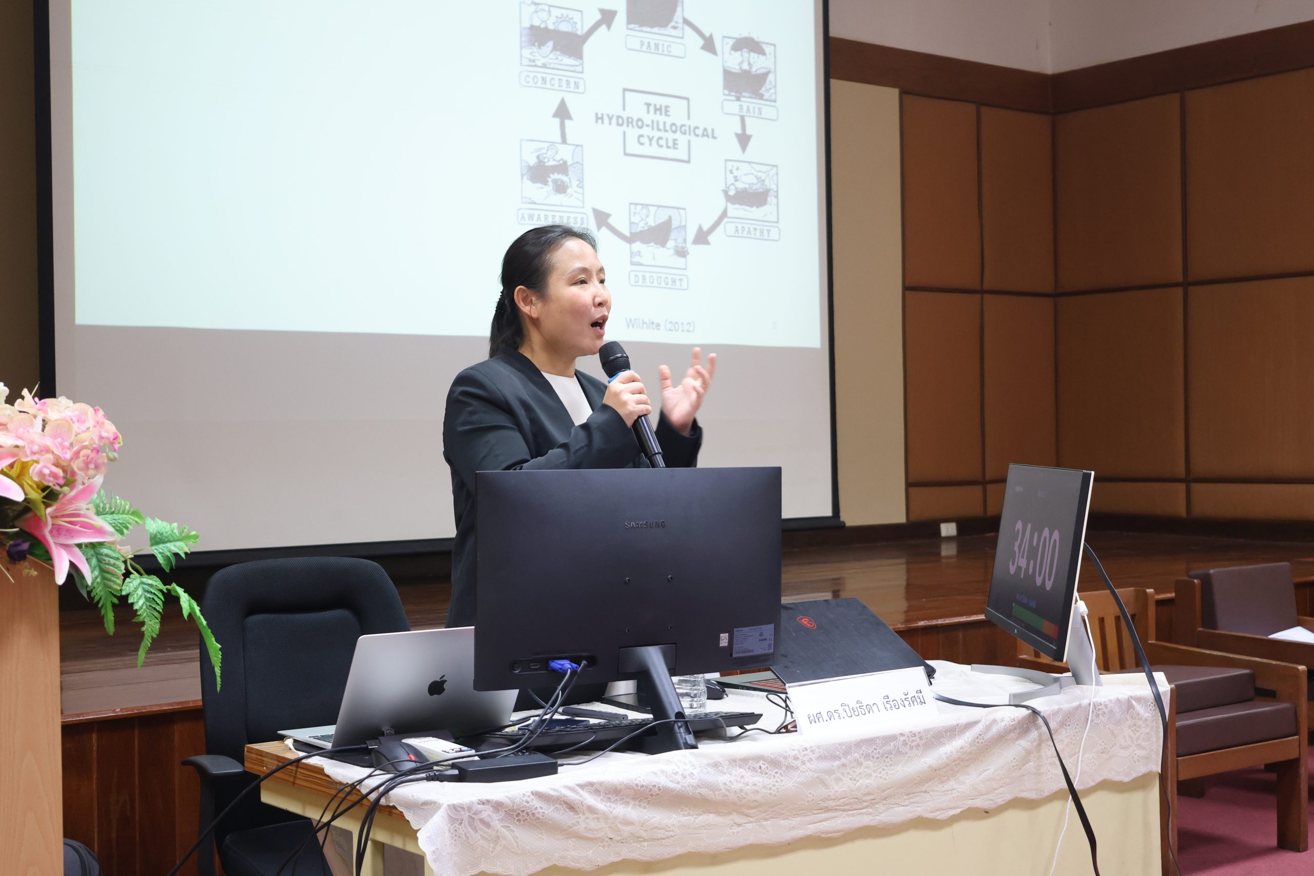
Dr. Piyatida Ruangrassamee — Chulalongkorn University — Seminar on Water Resources Management
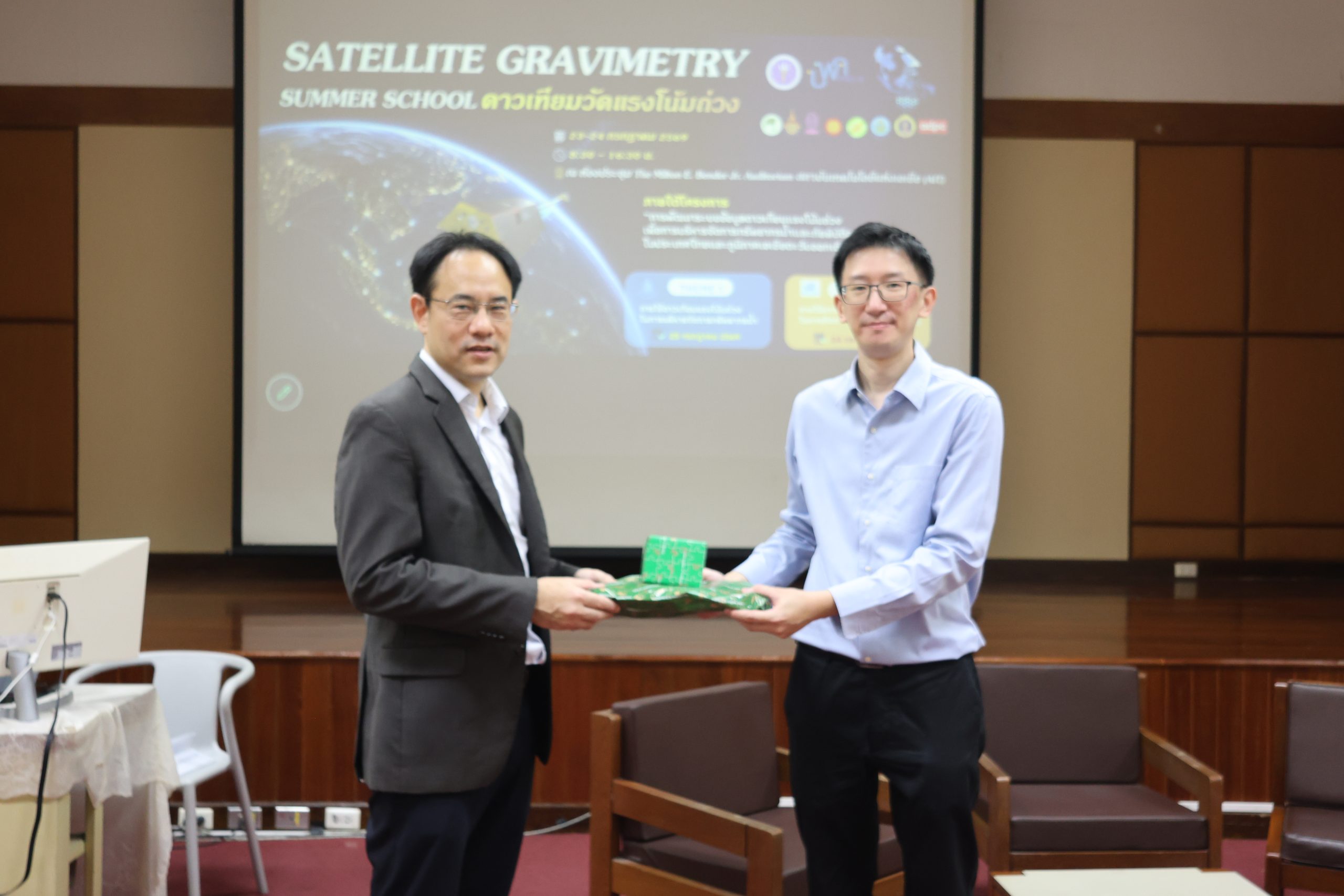
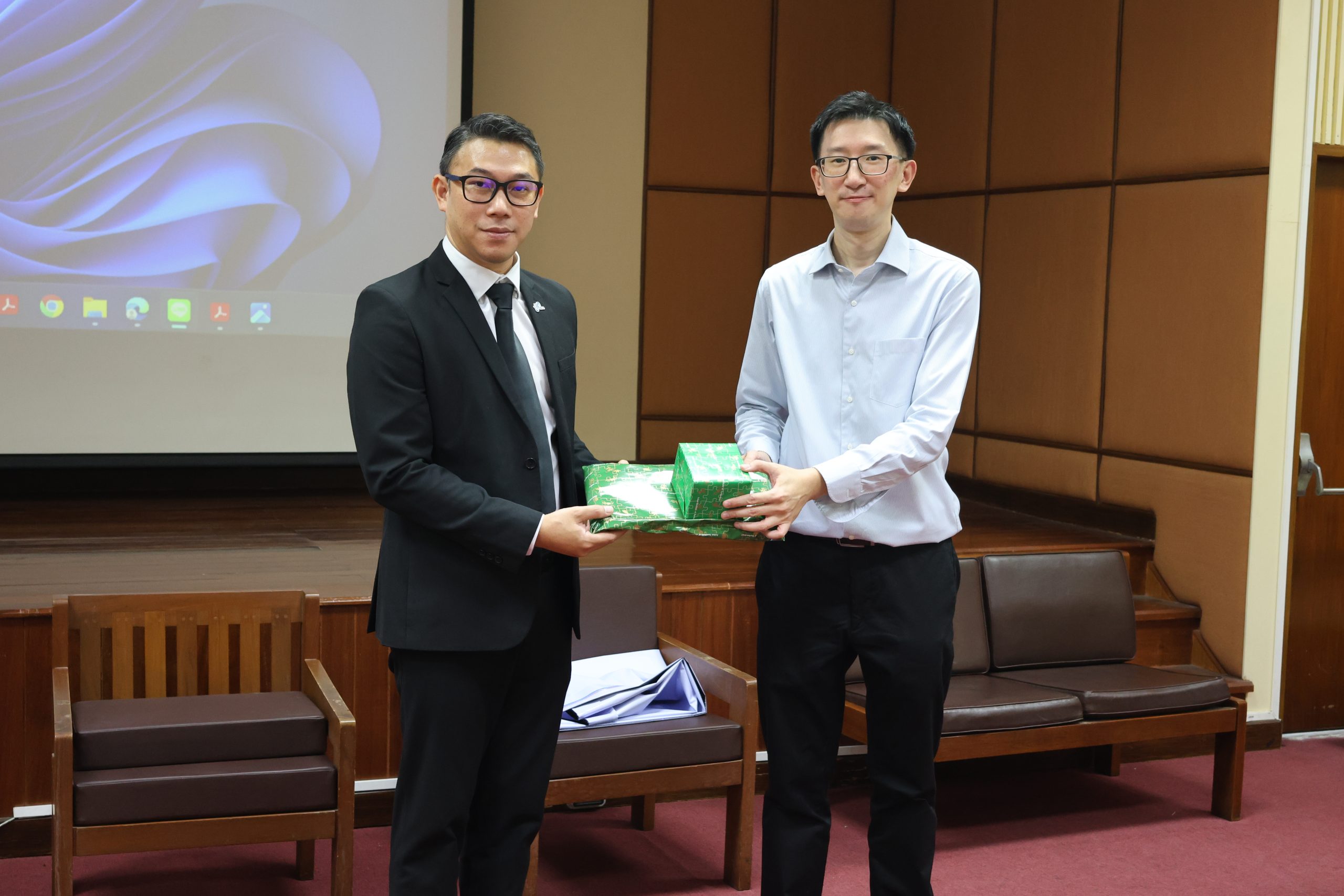
Dr. Natthachet Tangdamrongsub presenting the token of appreciation to Dr. Ekbordin Winijkul
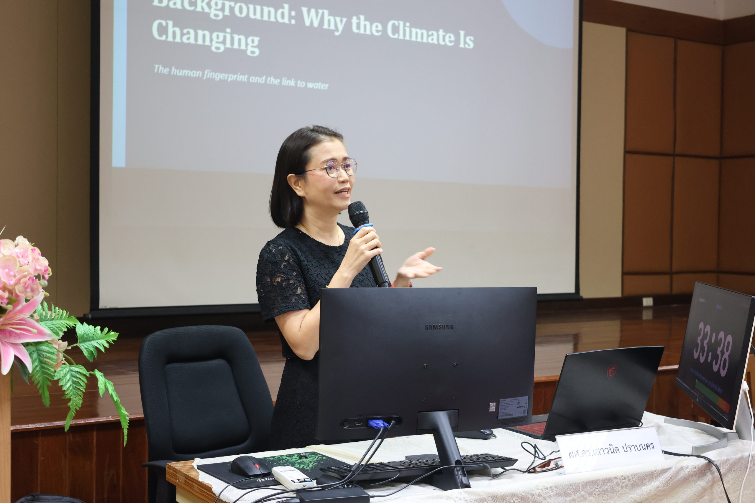
Dr. Saowanit Prabnakorn — Rajamangala University of Technology Thanyaburi (RMUTT) — Seminar on Climate Change Impacts on Hydrology
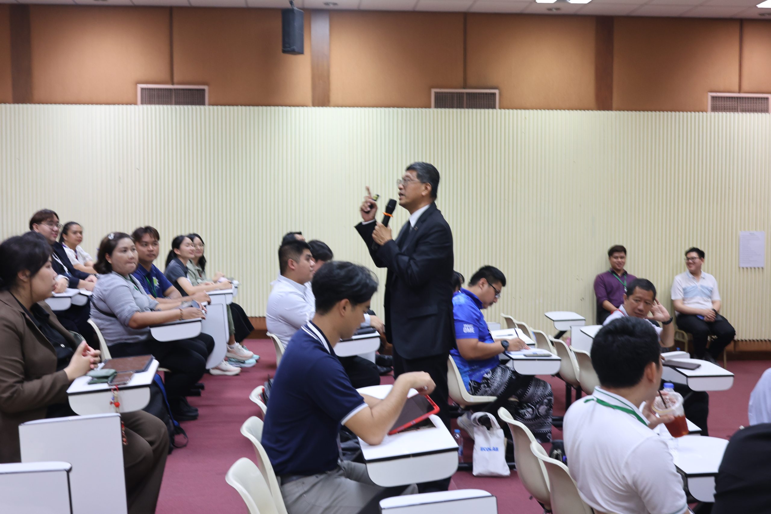
Prof. Chalermchon Satirapod — Chulalongkorn University — Seminar on the Introduction to Satellite Geodesy and the Earth System
Each day closed with a hands-on mini-project session, led throughout by Dr. Kittiphon Boonma and Mr. Thanaphol Boodchuang from the GeoInformatics Center – AIT alongside the AIT team, in which participants applied Python and GIS tools to real GRACE/GRACE-FO datasets. All participants were able to synthesize their newly acquired knowledge by delivering group presentations on the topics of their choosing, using the foundation information presented by the invited speakers and the research team at the end of each workshop day.
Looking Ahead
The Satellite Gravimetry Summer School 2026 reflects a broader push by AIT and ALICE-LAB to strengthen regional capacity in satellite-based Earth observation, and to build the interdisciplinary collaboration needed to tackle Thailand and Southeast Asia’s most pressing water and disaster management challenges.